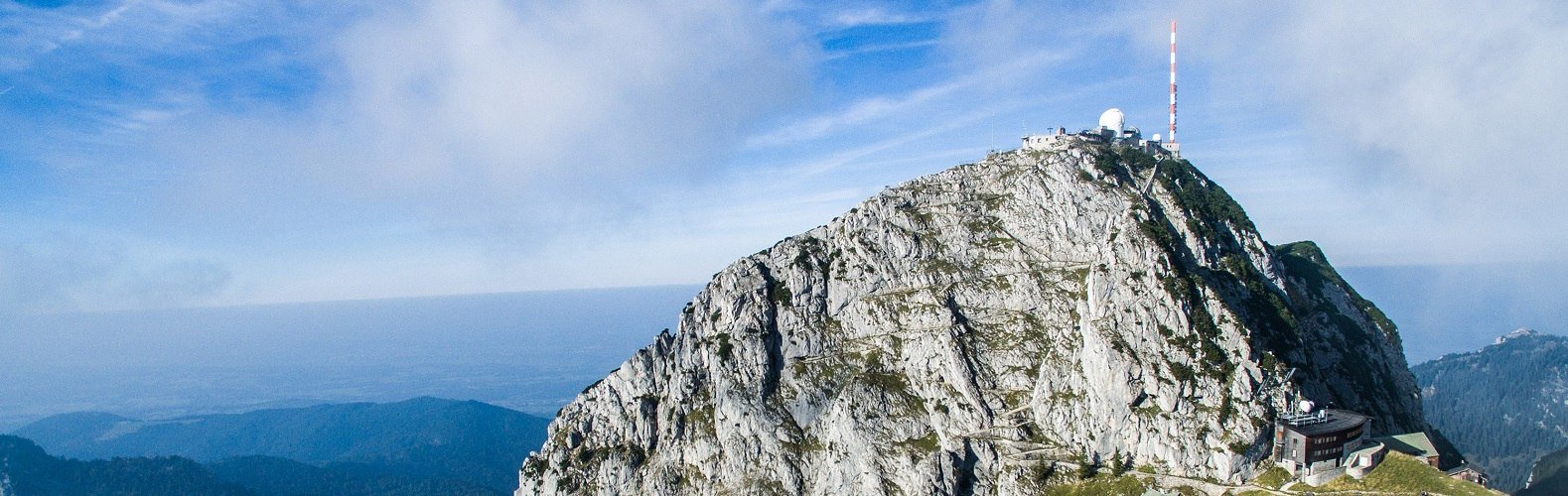
Tagesfahrplan heute 15.07.24, in Betrieb, Berg- und Talfahrten ab 09:15 Uhr halbstündlich, letzte Talfahrt 17:00 Uhr, Tel.: +49 (0) 172 20 90 784
Tagesfahrplan heute 15.07.24, in Betrieb, Bergfahrten von 09:00 bis 15:00 stündlich, letzte Talfahrt 17:00 Uhr, Tel.: +49 (0) 8034 308-110
geöffnet, Tel.: 08023/404
geöffnet, Tel.: 08034/707458
offen
offen
gesperrt, wegen Felssturz
other Information:
Bitte stets Tagesfahrplan beachten, täglich neu ab ca. 8:30 Uhr.
The remaining 100 metres of altitude from the mountain station to the summit are definitely a "must” for visitors to the Wendelstein. Once reached, the summit rewards you with a magnificent 360° panoramic view. The summit cross is also located on the viewing platform, as is the small St. Wendelin’s Chapel, the Summit Book and the University Observatory. The ascent along the well-protected and paved Summit Trail takes approximately 20 minutes and is also suitable for less experienced hikers.
Description of the trail: Below the Wendelstein Church the trail leads to the left of the Bavarian Broadcasting Corporate building and continues around hairpin bends and up steps to an altitude of 1,838 metres. Eight information boards along the scenic circular hiking trail provide information about the formation of the Alps.
You can either follow the same route back to the mountain station or take the Panoramic Trail through attractive alpine scenery (sure-footedness + hiking boots required!) This route branches off just below the Wendelstein summit and continues past an attractive picnic spot on what is know as the Eastern Summit back to the mountain station. Once back at the mountain station, it is certainly worth making a short detour into Germany’s highest show cave and taking a look in the Wendelstein Church .
Signposted, hiking time approx. 40 minutes